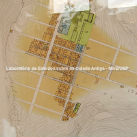
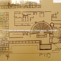
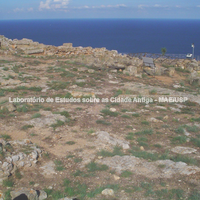
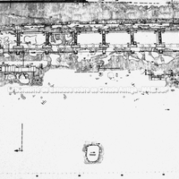
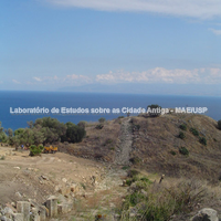
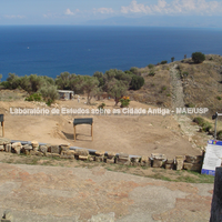
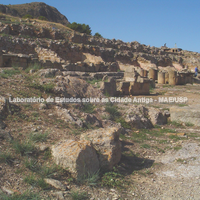
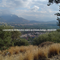
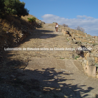
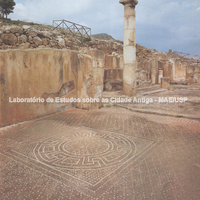
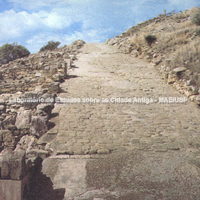
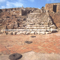
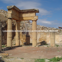
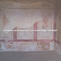
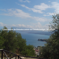
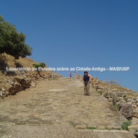
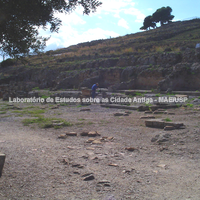
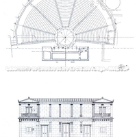
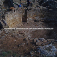
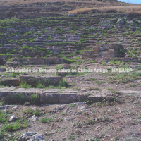
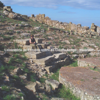
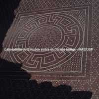
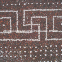
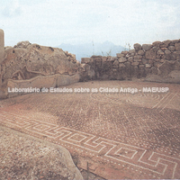
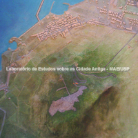
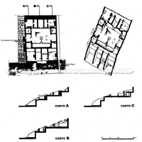
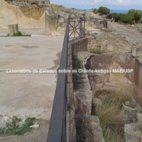
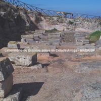
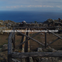
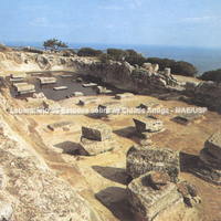
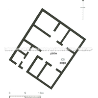
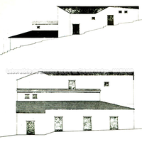
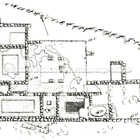
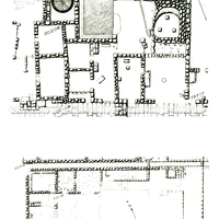
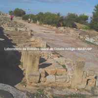
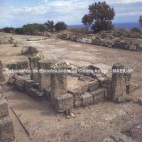
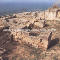
In these general plans of the city of Solous one can identify the plateiai, which run from east to west and are wider. They cross the north–south stenopoi, narrower streets, forming a grid pattern. The various quarters are differentiated either by the social status of the inhabitants or by the functions performed in the spaces: shops along the main street; public, religious and civic buildings grouped in the same western section of the city; a craft zone to the south-west. Public and private cisterns for collecting rainwater and drains and channels for carrying away dirty water have also been discovered (Moscati, 1999: 239-240)
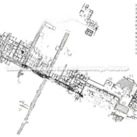 Plan of Solunto showing houses, gymnasium, agora, sanctuary, cistern, theatre and Odeon.
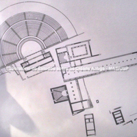 Plan of the agora. Monte Iato.
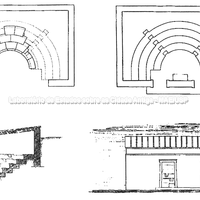
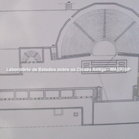 Plan of the civic part of the city showing the large theatre, the small bouleuterion…
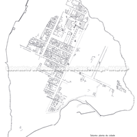 General plan of the settlement.
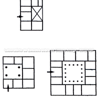
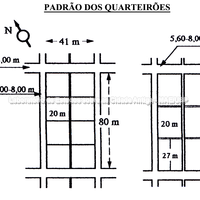 Block pattern in the city of Solunto.
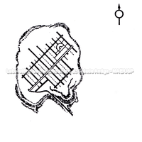 Plan of Solunto.
Bibliography (5)
- Labeca,; Foto Acervo Labeca
- Florenzano, M. B. B.; Relatório científico de viagem ao exterior
- Carratelli, G. P.; Sikanie: Storia e civiltà della Sicilia greca.
- Bollati, R.; Bollati, S.; Siracusa: genesi di una città. Tessuto urbano di Ortigia.
- Moscati, S. (ed.); The Phoenicians.