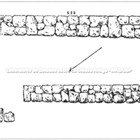
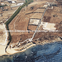
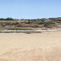
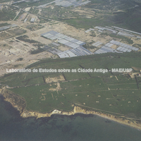
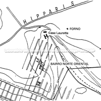
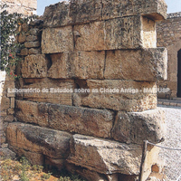
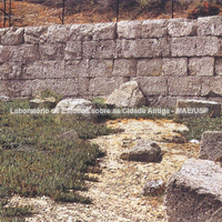
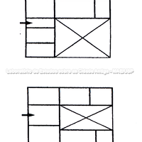
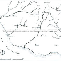
The city walls are dated to 553, with additions of the 5th and 4th centuries; two metres thick, they extend over a perimeter of 7 km. Three gates have been excavated so far: one in the centre of the east side, one to the south, the Megara Hyblaea gate, and one to the north-east near the mouth of the Hyparis, the Gela gate.
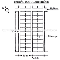
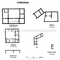
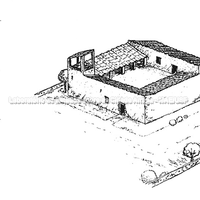
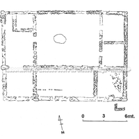
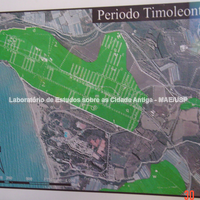
The territory of Kamarina has been extensively surveyed, and the conclusion reached is that from the mid-5th century it was more intensively occupied east of the walls, in the valley of the river Oanis, extending over approximately 100 hectares, the area furthest from the city being about four or five kilometres away. The walls of the kleroi and of the excavated farmsteads show that they had the same orientation as the buildings inside the walls (Florenzano, 2006:11).
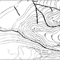
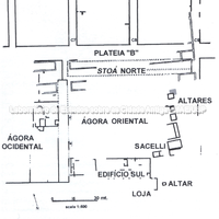
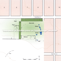
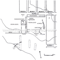
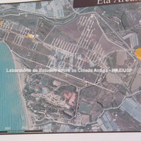
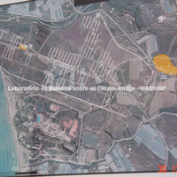
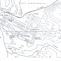 Map of Kamarina.
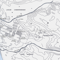 Map of Kamarina.
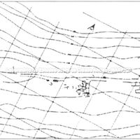
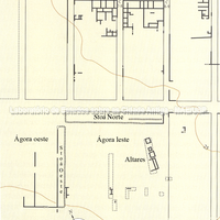
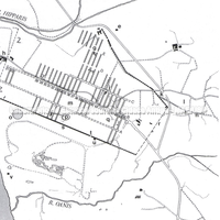
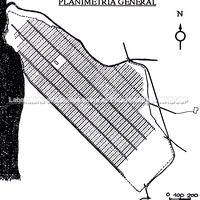
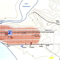 Urban plan of the 5th-century city, 1:20,000. J. Scheibe and M. Schützenberger.
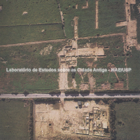
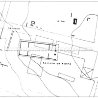
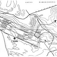 Plan of the city (Pelagatti).
Bibliography (5)
- Stefano, G. D.; Camarina. Guida Archeologica.
- Mertens, D.; Città e monumenti dei Greci d’Occidente.
- Florenzano, M. B. B.; Relatório científico de viagem ao exterior
- Coarelli, F.; Torelli, M.; Sicilia - Guide Archeologiche Laterza.
- Longo, F.; Jannelli, L.; Cerchiai, L.; The Greek Cities of Magna Graecia and Sicily.