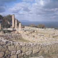
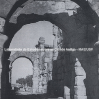
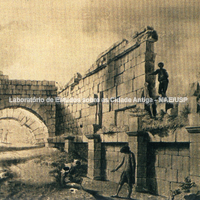
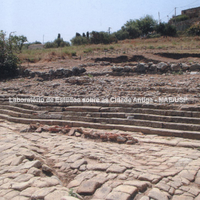
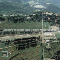
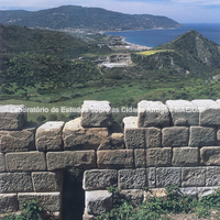
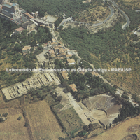
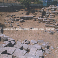
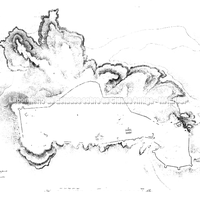
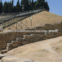
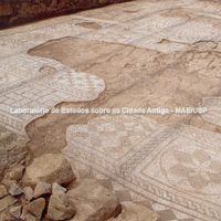
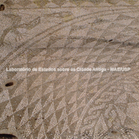
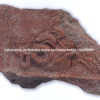
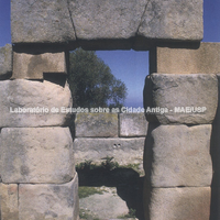
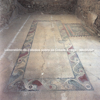
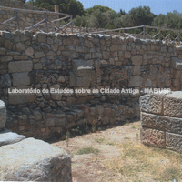
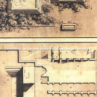
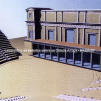
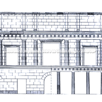
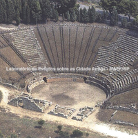
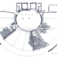
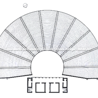
"The city lay on a narrow plateau with three plateiai oriented north-east–south-west arranged on three levels along the length of the plateau, crossed at right angles by the stenopoi. The size of the city was approximately 14 ha. The existing remains are Roman, but there are traces of the Timoleontic period of the mid-4th century, and the origin of the city plan probably goes back to the time of its foundation." (Hansen, 2004:233) This per strigas arrangement produced blocks 78 metres long, perpendicular to the coast (Cerchiai, Jannelli; Longo, 2002:187)
 General plan of the city (after Schmidt).
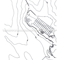 Plan of the urban grid. (La Sicilia antica I, 1980).
 General plan of the city. 1. Wall with towers, 2. School, 3. House of the Timoleontic…
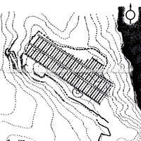 General plan showing the blocks and the "per strigas" planning.
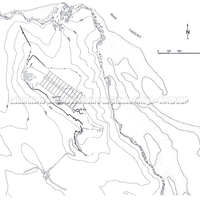 Plan of the city set within the local topography.
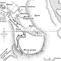 Tyndaris, plan showing the location of the main structures in different periods.
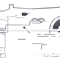 General plan of the south-eastern sector.
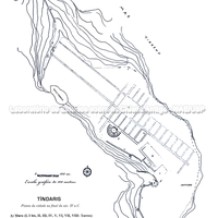 Urban organisation of Tyndaris at the end of the 4th century BC. Planimetric…
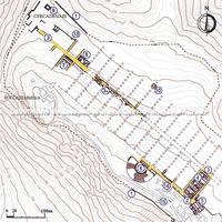 Tyndaris – archaeological zone. Part of the general plan. 1) Wall / 1a) Pincer-shaped…
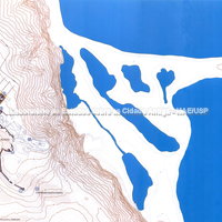 General plan of Tyndaris.
Bibliography (7)
- Coarelli, F.; Torelli, M.; Sicilia - Guide Archeologiche Laterza.
- Guido, M.; Sicily: An Archaeological Guide: The Prehistoric and Roman Remains and The Greek Cities.
- Bollati, R.; Bollati, S.; Siracusa: genesi di una città. Tessuto urbano di Ortigia.
- Mitens, K.; Teatri greci e teatri ispirati all'architettura greca in Sicilia e nell'Italia meridionale, c. 350-50 a.C.: un catalogo
- Longo, F.; Jannelli, L.; Cerchiai, L.; The Greek Cities of Magna Graecia and Sicily.
- Spigo, U.; Tindari: l'area archeologica e l'Antiquarium.
- Minà, P.; Urbanistica e architettura nella Sicília greca.