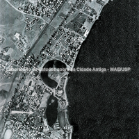
Aerial view of the south-eastern part of the site of Carthage (South Zone). Highlighted are the two harbours, the circular (military) and the quadrangular (commercial). The tophet area is indicated by an arrow.
Full-size image restricted
Nausitoo images are intended exclusively for academic research and teaching. To view them at full size, register and accept the Terms of Use, or sign in.