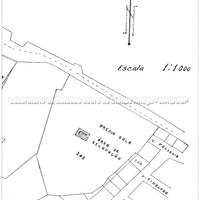
The urban layout
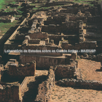
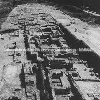
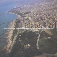
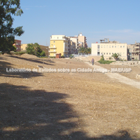
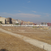
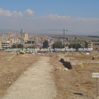
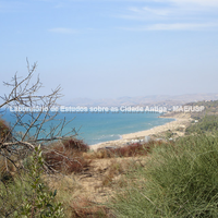
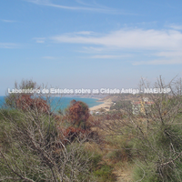
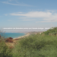
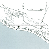
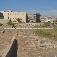
According to Dieter Mertens (2006), Gela is an example of early organisation of living space. Little is known about the first layout, largely because the modern city overlies the ancient one, which makes it difficult to produce a more detailed drawing of the Archaic and Classical urban plan. An east–west plateia along the crest of the hill can be identified. The agora would have been in an off-centre area on the platform, where the Piazza del Duomo stands today (Mertens, 2006: 79).
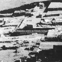
The residential area of the Archaic and Classical periods lay in the central-eastern part of the hill platform. Besides the east–west plateia, there was a series of stenopoi laid out in accordance with the orientation of temple A on the acropolis (Athena Lindia), the temple to which the main plateia led directly and which could be seen along its whole length; this suggests that the entire urban plan of the first foundation was conceived before it was carried out (Fischer-Hansen, 1996).
Between the temenos of the temple of Athena and the residential area lay a second sacred area, known as Molino di Pietro, with remains of a cult area attributed to Zeus Atabyrios. Near the residential area, close to the agora, there was also a temple dedicated to Hera, from the second half of the 7th century BC. For Tobias Fischer-Hansen (1996: 332), looking at the general plan of the Archaic city, it is notable that the platform was divided into basic units, in which the sanctuaries of Athena and Zeus were the most impressive parts; together with the Heraion, the agora and the residential area, they made up the first landscape of the ásty of Gela.
The restructuring of the acropolis – with the construction of the great Doric temple of the Athenaion (temple C), the monumentalisation of several sacred buildings and the construction of the wall circuit – coincides with the tyrannies of Hippocrates and Gelon (end of the 6th to beginning of the 5th century BC); these works were certainly undertaken to assert the autocratic power of the tyrants.
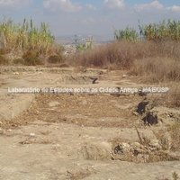
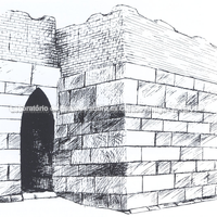
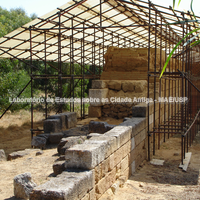
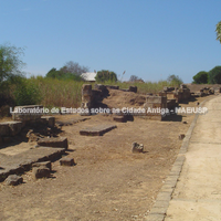
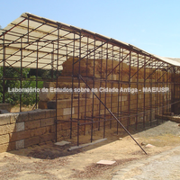
In 405 BC the city was razed by Carthaginian forces and remained virtually abandoned until its reconstruction by Timoleon between 339 and 338 BC, following a regular plan that radically transformed the topography and urbanism of the Archaic ásty (Orlandini, 1956: 165). A powerful new wall circuit was built around the whole perimeter of the hill, from the acropolis to Capo Soprano and Piano Notaro to the west – some stretches of this wall are still visible. The whole western sector, which corresponded to the Archaic and Classical necropolis, became a new residential quarter, as did the former acropolis area, which ceased to be a sacred area. The new quarter was organised on a system of orthogonal streets descending the slope of the acropolis over a system of terraces, always in accordance with Hippodamian urban principles (Orlandini, 1956: 166).
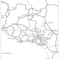
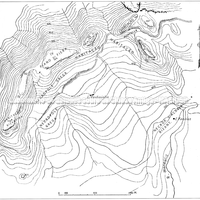
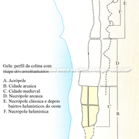 Graphic representation of the hill where the Rhodians and Cretans settled, with a map of…
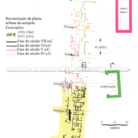 Reconstruction of the urban plan of the acropolis, with the different phases from the 7th…
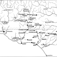
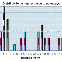
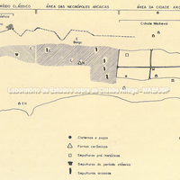 Plan of Gela with the location of funerary and sacred spaces of different periods.
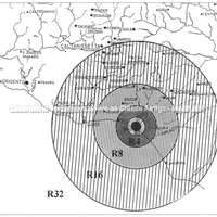
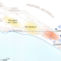 Diagram of the areas of occupation in the Archaic period, highlighting funerary and…
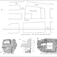
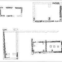
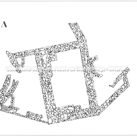
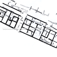
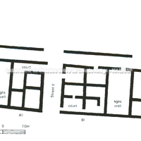
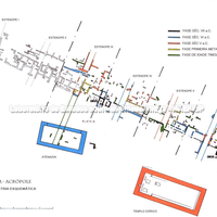 Plan of a residential block on the acropolis, highlighting the urban grid and the…
 Archaeological plan of ancient Gela. (G. Fiorentini).
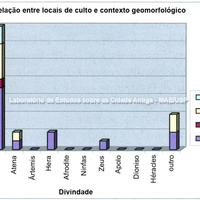
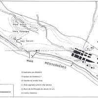 Plan of Gela highlighting the sacred areas inside and outside the walls.
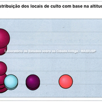
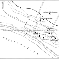 General plan of Gela with the location of the sacred areas: urban, suburban and…
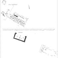 Plan of the acropolis highlighting the Athenaion. (Adamesteanu-Orlandini)
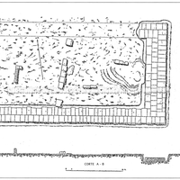
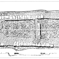
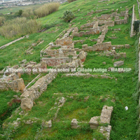
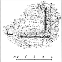
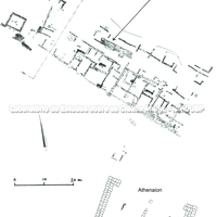 Plan of a residential block, wall and other structures of the acropolis.
Bibliography (10)
- Mertens, D.; Città e monumenti dei Greci d’Occidente.
- Panvini, R.; Gelas: Storia e Archeologia dell’antica Gela.
- Frederiksen, R.; Greek City Walls of the Archaic Period, 900-480 BC (Oxford Monographs on Classical Archaeology)
- Miro, E. D. (ed.); Braccesi, L. (ed.); Bonacasa, N. (ed.); La Sicilia dei due Dionisî.
- Veronese, F.; Lo spazio e la dimensione del sacro: santuari greci e territorio nella Sicilia arcaica
- Hirata, E. F. V.; Os Prótomos Femininos de Gela: especificidades e função no quadro da coroplastia siciliota (século VI-V a. C.)
- Coarelli, F.; Torelli, M.; Sicilia - Guide Archeologiche Laterza.
- Orlandini, P.; Storia e topografia di Gela dal 405 al 282 a.C. alla luce delle nuove scoperte archeologiche.
- Fisher-Hansen, T.; The earliest town planning of the Western Greek colonies, with special regard to Sicily.
- Carratelli, G. P. (ed.); The Greek world: art and civilization in Magna Graecia and Sicily.