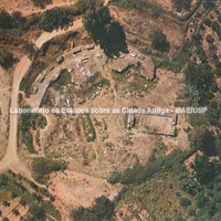
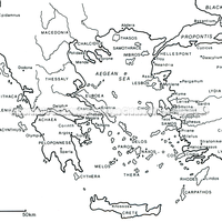
Little has been excavated at Sparta. In the Archaic and Classical periods the territory of Sparta must have been around 270 km². The 'low' acropolis (today Palaiokastro), not very high according to Pausanias, commands a view of the city on its north side. Ancient texts tell us that the city did not have a regular street plan and, as Thucydides said, it was laid out in the old way: katá komas, that is, in villages. It is believed that the agora of Sparta was on the acropolis, with its 5th-century BC stoa on its north-west side. A round building dated to the 3rd/2nd century BC has been identified with the Choros of Pausanias' time.
Some roads around the city have been identified, as well as remains of some bridges over the Eurotas and its tributaries.
Burials have been found on the edges of each of the four villages, which implies that they lay within the "urban" area.
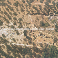 Aerial view of the settlement.
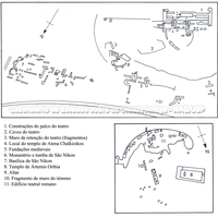 General plan of the settlement showing the main buildings. (Sarah Lillywhite).
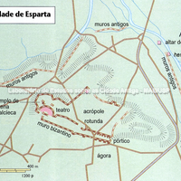 Map of the city of Sparta. (Swanston Publishing)
Bibliography (2)
- Schoder, R. V.; Ancient Greece from the Air.
- Morkot, R.; The Penguin Historical Atlas of Ancient Greece.