Croton

Italy (South) (Bruttium)

Croton was a foundation of colonists from Achaea (Herodotus, VIII, 47) who settled in southern Italy in 709 BC. An important colony which in 570 BC took part in the coalition that destroyed Siris and in 510 destroyed Sybaris, ending the fame and glory of that city. From then on the city underwent a major expansion, which gradually came to an end with the occupation of its territory by Dionysius I, tyrant of Syracuse, between 378 BC and 366 BC.

Forms of occupation of the khóra

Residential areas: villages, farmsteads

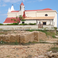
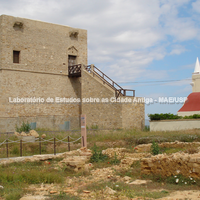
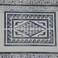
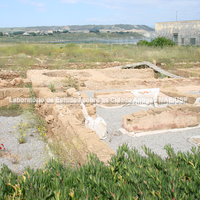
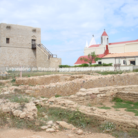
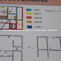
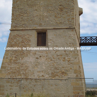
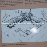
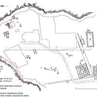
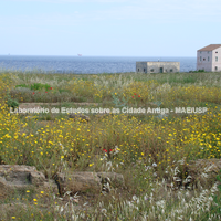
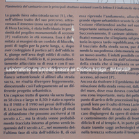
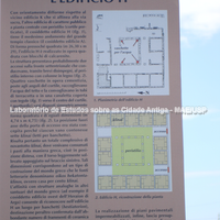
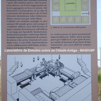
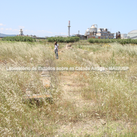
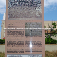
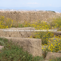
In the area of Cape Lacinium a great deal was built during the Roman occupation. Archaeologists have uncovered several residential structures here, including the structure of a bath building.
Bibliography (2)
  • Labeca,; Foto Acervo Labeca
  • Florenzano, M. B. B.; Relatório científico de viagem ao exterior
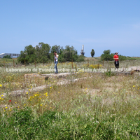
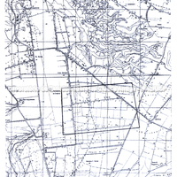
Archaeological survey work that made it possible to identify occupation structures in the khóra of Croton.

Bibliography (6)
  • Mertens, D.; Città e monumenti dei Greci d’Occidente.
  • Carter, J. C.; Discovering the Greek Countryside at Metaponto.
  • Labeca,; Foto Acervo Labeca
  • Lombardo, M.; Greci e indigeni in Calabria: aspetti e problemi dei rapporti economici e sociali
  • Ruga, A.; Rescigno, C.; Roubis, D.; Fiorillo, R.; Ricerche nella chora meridionale di Crotone: prospezioni e scavi (1990-91).
  • Longo, F.; Jannelli, L.; Cerchiai, L.; The Greek Cities of Magna Graecia and Sicily.

Forms of occupation of the khóra

Structures marking the extent of the territory

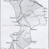
The whole hinterland of southern Calabria, with coastlines on the Tyrrhenian and Ionian Seas, was disputed between the various Greek cities established there: Rhegion, Locri, Kaulonia, Croton, Sybaris. This whole region had indigenous populations which, influenced by the Greeks, joined or supported one polis or another.

Bibliography (1)
  • Lombardo, M.; Greci e indigeni in Calabria: aspetti e problemi dei rapporti economici e sociali

Forms of occupation of the ásty

Urban grid: acropolis, block, agora, plateiai, stenopoi, orientation

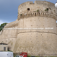
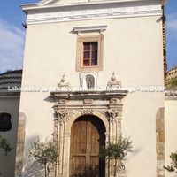
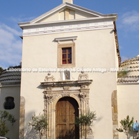
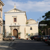
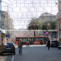
The city of Croton continued to be occupied over time, in the Roman, medieval and modern periods. For this very reason archaeological activity is hampered by the interference it would represent in the lives of the city's present inhabitants. Even so, as in many other cities, the ancient urban grid can still be recognised in several urban segments.

Bibliography (2)
  • Labeca,; Foto Acervo Labeca
  • Florenzano, M. B. B.; Relatório científico de viagem ao exterior
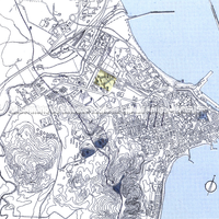
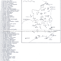
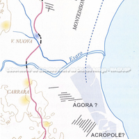
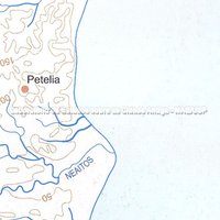
Maps of the region showing the location of Croton in relation to other nearby settlements. The settlement was laid out on a plain around a very wide watercourse at the mouth of the river Esaro and developed on both banks, occupying an area approximately 13 km wide with its whole perimeter walled. South of the river delta there is a hill now called Collina del Castello, where the acropolis stood in antiquity. Several farmsteads have been found in the khóra of Croton, dating mainly from the end of the 6th to the first half of the 5th century. From the end of the 5th century, as indigenous pressure on the city increased, the number of farmsteads began to decline.

Bibliography (4)
  • Carter, J. C.; Discovering the Greek Countryside at Metaponto.
  • Lombardo, M.; Greci e indigeni in Calabria: aspetti e problemi dei rapporti economici e sociali
  • Florenzano, M. B. B.; Relatório científico de viagem ao exterior
  • Ruga, A.; Rescigno, C.; Roubis, D.; Fiorillo, R.; Ricerche nella chora meridionale di Crotone: prospezioni e scavi (1990-91).

The city of Croton shows important traces of urban planning. The initial street network is regular and dates from the end of the 7th / beginning of the 6th century BC; it was characterised by the division of the territory into three nuclei, each following its own orientation and separated by empty spaces. One nucleus lay on the west bank of the river and the other two on the east bank. This separation seems to have been intentional at the time of the foundation in the 8th century BC and not the result of the merging of existing villages. Following the outline of the coast, the three nuclei were oriented perpendicular to the shore. This differing orientation was apparently related to the relief of the coastal strip, so that the slope of the 5-metre-wide streets served to drain surface water towards the sea. In the 4th century BC the urban core was rebuilt, and from then on a public area can be identified at the point where the two housing blocks on the west side met the road leading to the territory. Remains of a kerameikos and a probable agora have been identified at this spot.

Bibliography (4)
  • Mertens, D.; Città e monumenti dei Greci d’Occidente.
  • Labeca,; Foto Acervo Labeca
  • Florenzano, M. B. B.; Relatório científico de viagem ao exterior
  • Longo, F.; Jannelli, L.; Cerchiai, L.; The Greek Cities of Magna Graecia and Sicily.

Forms of occupation of the khóra

Sacred areas: deposits, temples, shrines, sanctuaries, altars

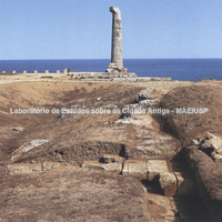
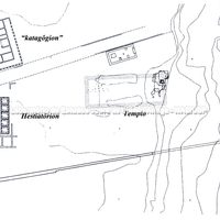
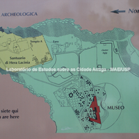
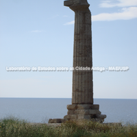
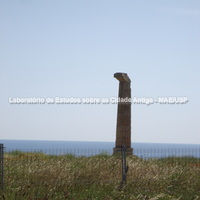
Sanctuary of Hera Lacinia. An important extra-urban sanctuary located 11/12 km south of the ásty, on Cape Lacinium, it can be considered one of the boundary markers of the territory. Its position on a promontory made the ásty visible. Forming an arc over the sea, the territory seems to be marked out so as to incorporate this stretch of sea. The sacred character of the site persists to this day, since the Madonna di Capo Colonna is venerated in a small chapel on the site of the ancient temple of Hera. The area was also occupied in the Roman and modern periods, serving various functions, from sacred site to workshops and farmland.

Bibliography (5)
  • Mertens, D.; Città e monumenti dei Greci d’Occidente.
  • Labeca,; Foto Acervo Labeca
  • Hellmann, M.; L’ Architecture Grecque. 2. Architecture religieuse et funéraire.
  • Florenzano, M. B. B.; Relatório científico de viagem ao exterior
  • Carratelli, G. P. (ed.); The Greek world: art and civilization in Magna Graecia and Sicily.

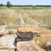
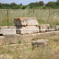
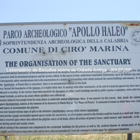
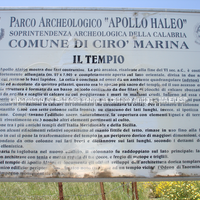
Temple of Apollo Alaios. Together with the Sanctuary of Hera Lacinia, this was also an important extra-urban sanctuary of Croton: it lay 30 km north of the city, marking the boundary on that side.

Bibliography (2)
  • Labeca,; Foto Acervo Labeca
  • Florenzano, M. B. B.; Relatório científico de viagem ao exterior

Forms of occupation of the ásty

Walls and position of the gates

The walls of Croton are estimated to have been 18 km long. In the 4th century the fortified area covered c. 620 hectares (Inventory, 2004:269). However, only a few stretches have been found, with dates ranging from the mid-5th to the end of the 4th century. At the end of that century these walls were apparently strengthened. The gates have not been found.

Bibliography (2)
  • Mertens, D.; Città e monumenti dei Greci d’Occidente.
  • Florenzano, M. B. B.; Relatório científico de viagem ao exterior
Borders

Natural features: rivers, topography, sea

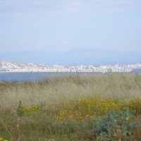
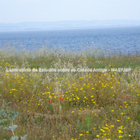
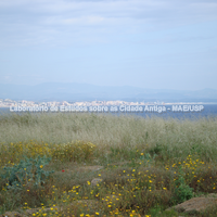
From Cape Lacinium, or Capo Colonna, there is a view of the city of Croton, where the ancient ásty lay. An arc traced over the sea shows that the sea also formed part of the city's domain, integrated into the polis landscape.

Bibliography (2)
  • Labeca,; Foto Acervo Labeca
  • Florenzano, M. B. B.; Relatório científico de viagem ao exterior
Building techniques

Architectural details

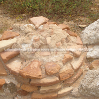
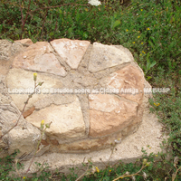
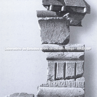
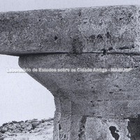
Details of ancient construction always appear at archaeological sites and are important for a better understanding of the level of technological knowledge.
Bibliography (3)
  • Mertens, D.; Città e monumenti dei Greci d’Occidente.
  • Labeca,; Foto Acervo Labeca
  • Florenzano, M. B. B.; Relatório científico de viagem ao exterior