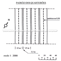
Excavations at Monte Casale revealed an urban settlement occupying the whole plateau, an area of approximately 1,370 x 450 metres, or 70 hectares, enclosed within a wall. The city was founded on top of a plateau surrounded by steep escarpments, and therefore without direct access to the hinterland, and followed an orthogonal plan from its foundation in the 7th century BC.
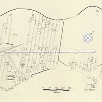 General plan of the city. (D. Mertens and M. Schützenberger)
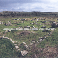
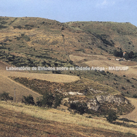 View of Monte Casale from the south.
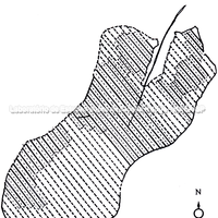
 Urban plan. 1:10,000. M. Schützenberger.
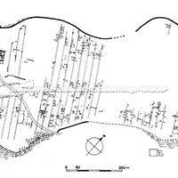 Monte Casale. General plan drawn up by R. Carta.
Bibliography (5)
- Mertens, D.; Città e monumenti dei Greci d’Occidente.
- Voza, G.; Nel Segno dell’antico: Archeologia nel territorio di Siracusa.
- Florenzano, M. B. B.; Relatório científico de viagem ao exterior
- Bollati, R.; Bollati, S.; Siracusa: genesi di una città. Tessuto urbano di Ortigia.
- Carratelli, G. P. (ed.); The Greek world: art and civilization in Magna Graecia and Sicily.